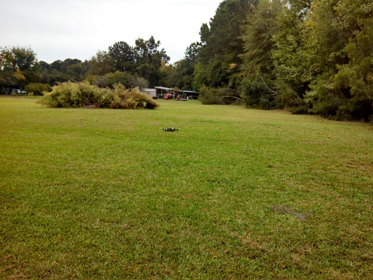
Small unmanned aerial vehicles or UAV technology offer a
unique opportunity to acquire imagery at a very high resolution and
at a very low cost. This new technology can be a useful tool and valuable in numerous areas:
- Real Estate
- Building insurance
- Roof inspections on buildings of all sizes
- Property damage assessment
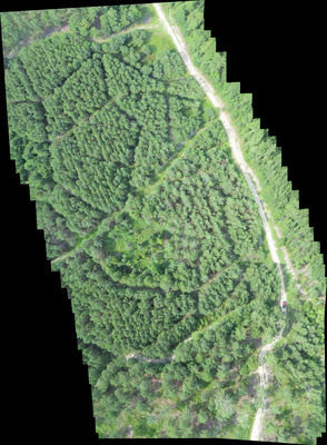
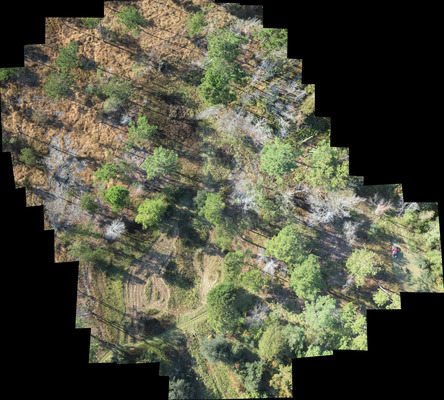
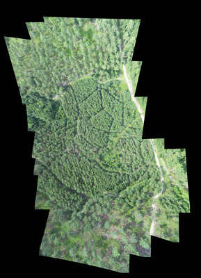
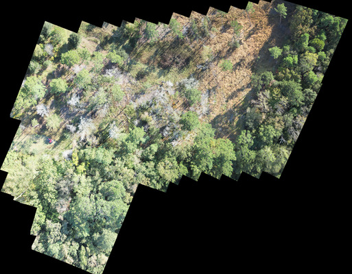
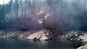
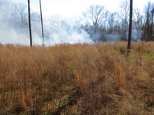
- Pine beetle inspections and monitoring
- Timber stand typing and dilineation
- Tree seedling survival counts
- Wading bird surveys
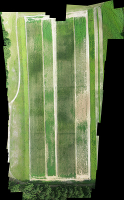
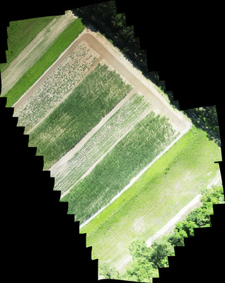
- Agriculture
- Landscape architecture
- Post-herbicide spray inspection
- Construction progress monitoring
- Pre-Construction site surveys
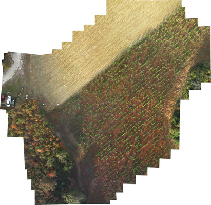
One of the benefits of this technology is imagery at high resolutions
is affordable for anyone. Not only is it very cost effective to collect
and process this high-resolution imagery, it is repeatable allowing for regular
monitoring of sites throughout the year. This technology also reduces the cost of existing
methods performing some tasks while increasing the quality of
information obtained. Not only can a better product be produced,
it can be done faster and cheaper than traditional methods and in
some cases where it was not even possible before this technology.
We have the ability to collect imagery with a resolution of 1 cm or less
per pixel and incorporate this imagery into a GIS project, georectifying
it and using it for planning, monitoring, or decision making purposes.
Further, we can provide user-friendly, georectified KMZ file that can be opened
directly in GoogleEarth; you do not need a complicated GIS program
to view your imagery.
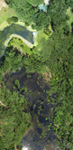
Below you can see imagery of approximately the same area in two photographs. The one on the left is
Google Earth imagery at a resolution of 1,114 pixels by 848 pixels. The same area
on the right is much higher resolution imagery at a resolution of 7,613 pixels by 6,785
pixels. Another comparison can be seen is a 1,114 x 848 pixel-sized area of the high resolution imagery.
Each pixel represents a much smaller area.
Back to Top